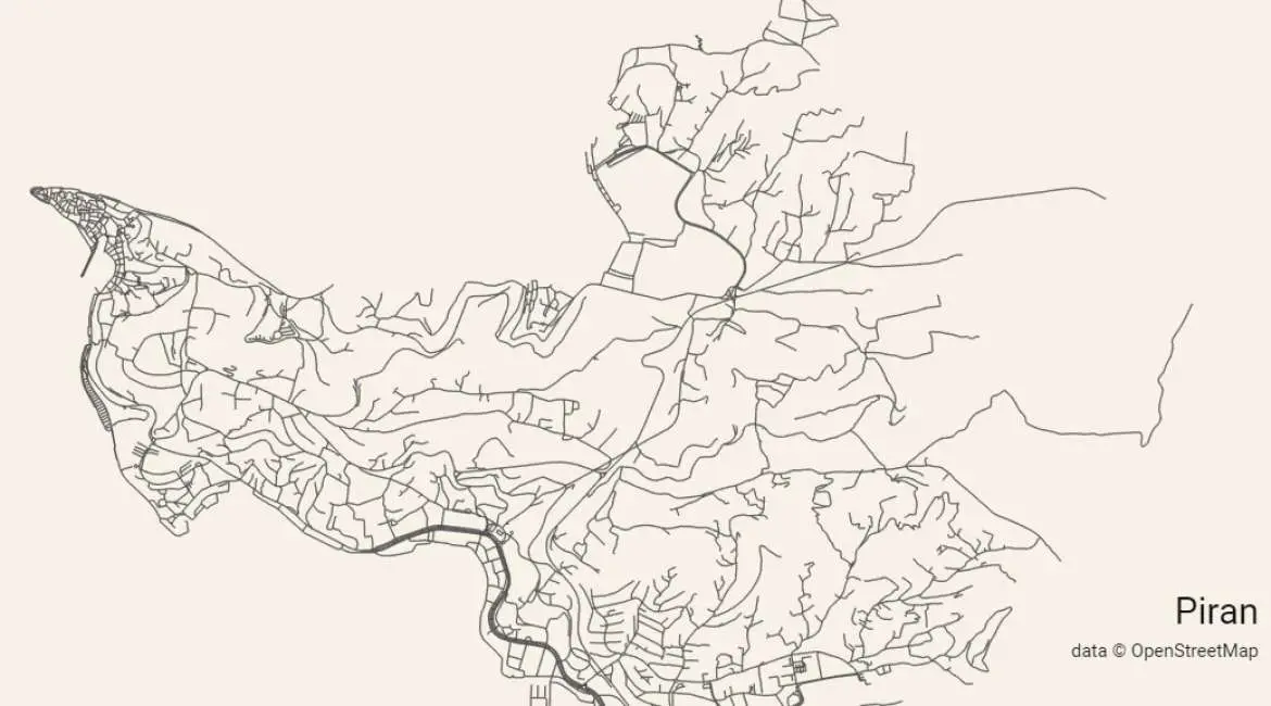

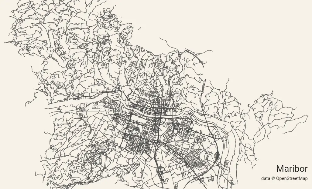
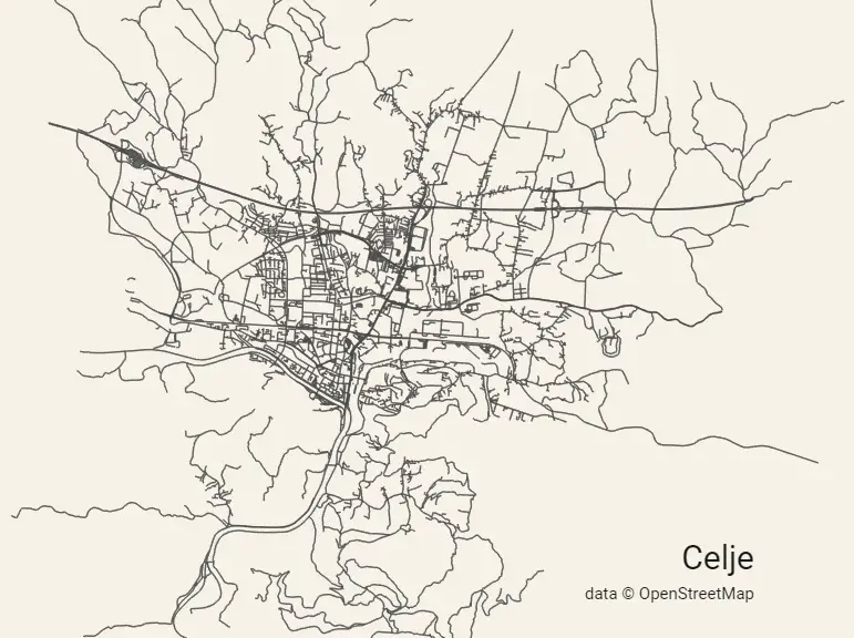
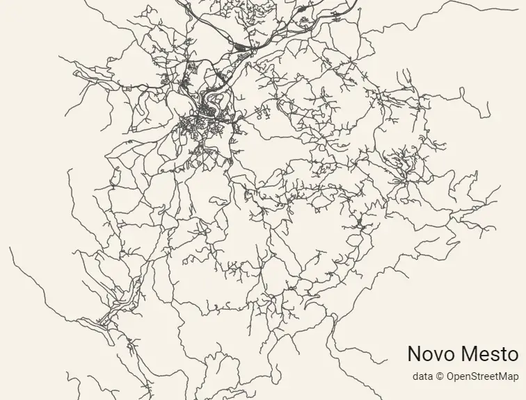
Andrei Kashcha has created a wonderful webpage where you can enter a place name and receive a map showing only the roads – the transport arterial system of the area. Here are some examples drawn from Slovenia.
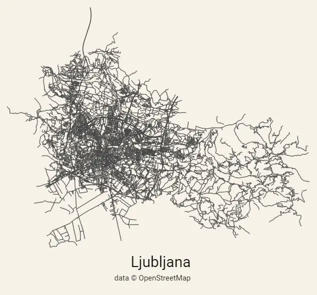
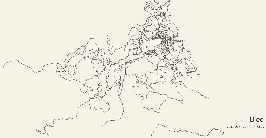
It’s a lot of fun to play around with, and the resulting maps are available for download (in relatively low res versions, as shown here) or printing on mugs.
If you find this interesting, and would like to make more maps of anywhere – it works all over the world, with Timbuktu having an especially striking map – then do check out the original site. It’s the best place to view these images, make more of your own, and then zoom in and see the pleasing, fractal nature of the system.